Instructions for Choosing your Case Study Topic
READ THIS FIRST
Much of the course will involve guided projects designed by you and your group, at a case study location that you choose. You’ll learn a combination of GIS and Life Cycle Assessment approaches, both of which are useful tools for quantifying sustainability. For your GIS and remote sensing work, you’ll want to focus on the specific locations where we have geodata already prepared for you. For your Life Cycle Assessment, you may choose to broaden the scope of your inquiry to the broader region (or country) encompassing your case study. As you develop your project ideas, consider linking your GIS and LCA projects in some way if this is interesting and useful; however, this is not mandatory.
Your first task (as a group) will be to choose a case study location to focus on for the rest of the semester. The potential case study locations have been selected to represent a variety of different management challenges ranging from:
- urban expansion to wilderness management
- arid water-limited regions
- energy development (oil, hydropower, biofuels)
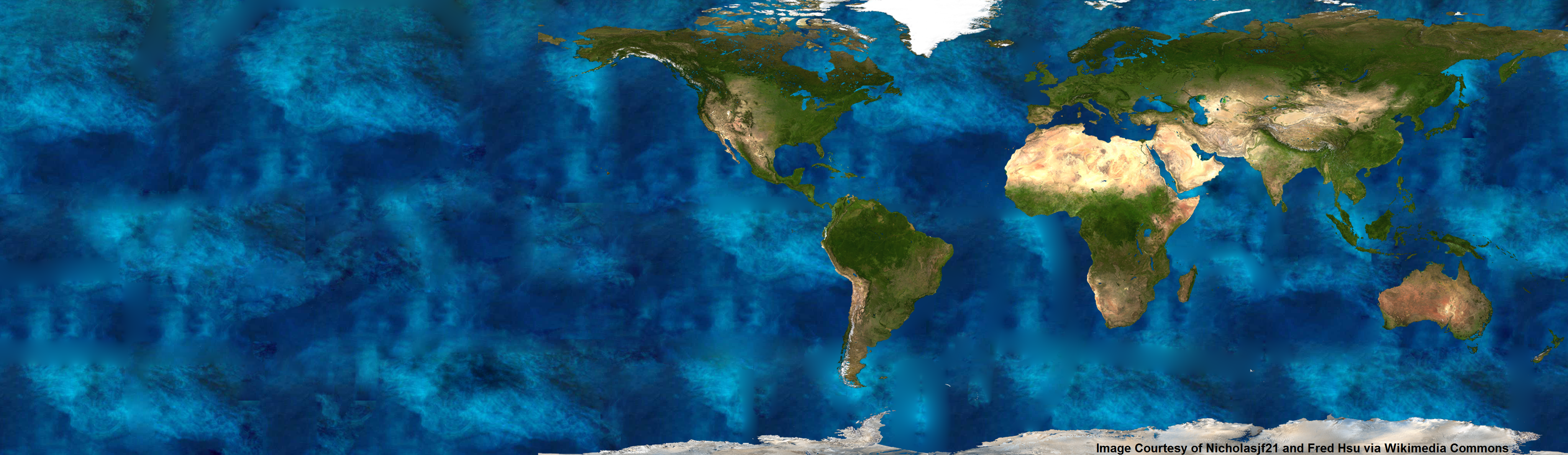
- forest loss (see Interactive Deforestation Map) but also forest restoration and urban greening
- subsistence agriculture
- ecotourism and cultural tourism
- wetlands, forested wetlands, coastal mangroves
To help you decide, you’ll want to visit the detailed webpages we’ve created for these different locations. But, for starters, check out the files below to get a general idea where you might want to work.
You’ll need to have either Google Earth or Google Maps to view these files:
Do a quick tour of Google Earth – Virtual discovery by Google Earth
- Belize
- Dubai, United Arab Emirates
- Haiti
- Malawi
- New Orleans, Louisiana Delta, USA
- Tanzania
- Three Gorges Dam
- Ft McMurray, Alberta (Athabasca Oil Sands)
- Mesopotamian Marshes (Iraq)
- Madagascar (Ambanja and Ambaro bays)
- Inner Mongolia
- Borneo
- Cambodia
- Curitiba, Brazil
If you are having trouble viewing these files, download them first (right-click on the link, then select Save Target As). Then open them using Google Earth.
Geodata Sources
Geodata for your case study (compatible with ArcGIS) will be provided through the course network drive.
Classified land cover data (derived from NASA Landsat) is available for all case study locations, but only within the boundaries delineated in the Google Earth files. You can find this data in on each case study page in the “Simple Land Cover Maps” link found under the Basic Geodata section. Each site has a minimum of 3 time series dates, two dates from each study area are displayed on each case study page (jpg file format) and are meant to get you thinking very broadly about apparent changes to these landscapes.