Introduction
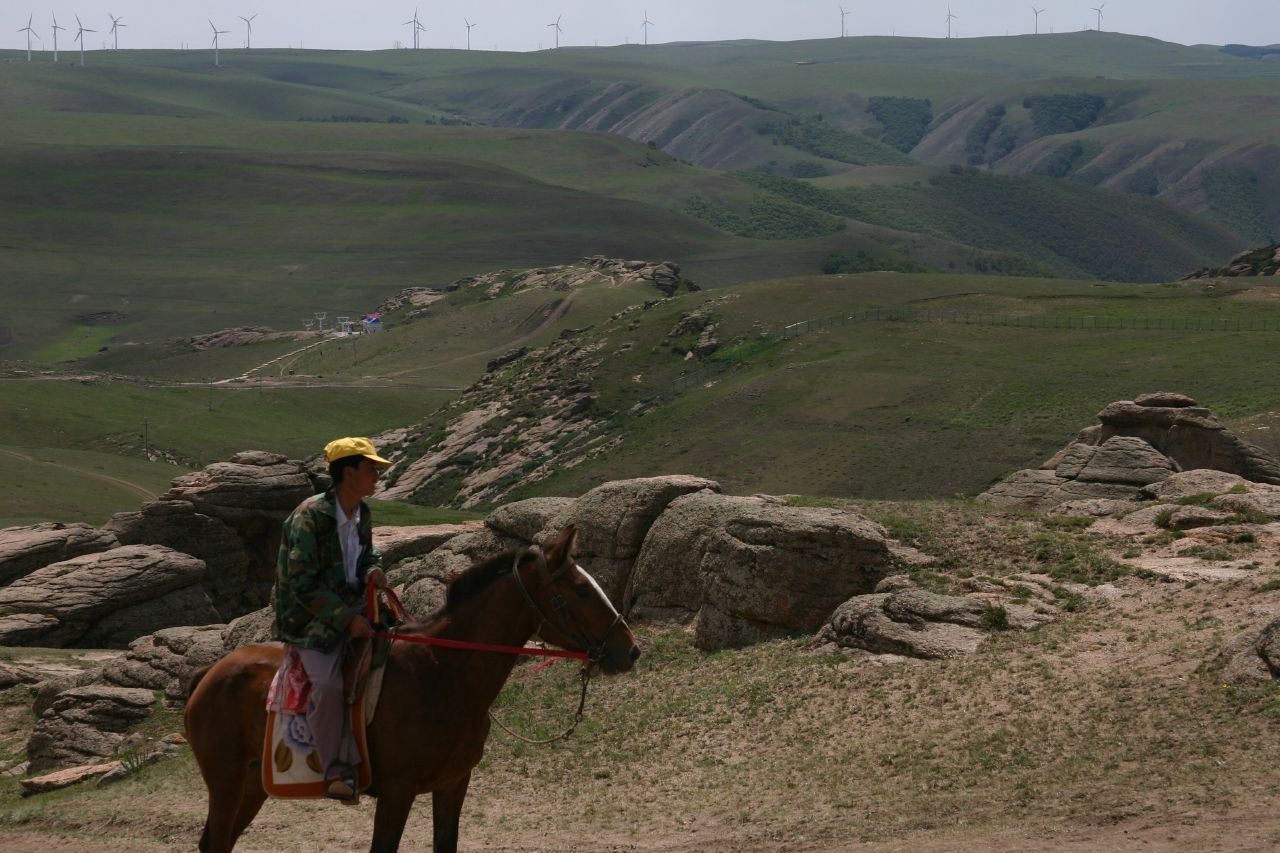
Image courtesy of Steven Buss via Wikimedia Commons
Inner Mongolia is a good choice for students interested in arid environments, desertification, renewable energies, and afforestation. The case study boundaries centre around the Horqin sandy land (alternative spellings include Horchin, Korqin, and Korchin), an area that has experienced intense desertification over the past few decades (the case study is located between the cities of Tongliao and Chifeng). To combat the encroaching desert, one of the most ambitious and controversial afforestation programs was launched in 1978, and continues to this day.
The case study area is located in the grassland steppe of Inner Mongolia, and much of the study area is blanketed with farmland and pasture. As such, water availability and soil erosion are topics of interest. However, the broader Inner Mongolia region – especially nearby Xilin Gol – includes mining and renewable energy projects, some of which have proven unpopular among locals. Inner Mongolia offers flexibility to students who are initially unsure of the direction they would like to head.
Knowledge of Mandarin is an asset for this case study, enabling access to numerous publications not in English, thus increasing the potential creativity of a group’s approach. However, any lack of familiarity should not be seen as at all restrictive to anyone interested in the area.
Background
Energy/Resources: Wind energy Risks for Shale Gas Desalination Plant Desalination of Water Uranium Deposit The Economist (mining) GreenPeace (mining) Mining Affect Grassland Ecosystem Solar Energy Investing in Solar Energy in Asia
Agriculture: Wild Foods Ephedra Wild Vegetables
Conservation/Ecology: Pave the Way for Green Droughts Grasslands of Inner Mongolia China’s Cap-and-Trade Program
Society/Urban: Traditional Botanical Knowledge Traditional Medicine Travel Guide Overview pictures
Basic Geodata
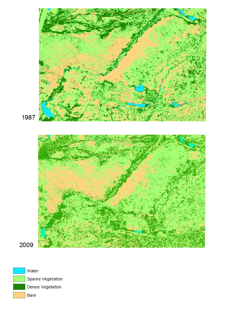
Land cover data (compatible with ArcGIS) will be provided to you in class, covering three past time periods since the 1980s. The links below will show you the approximate boundaries (as seen in Google Earth with recent years), as well as the basic changes in land cover.
view in Google Earth