Introduction
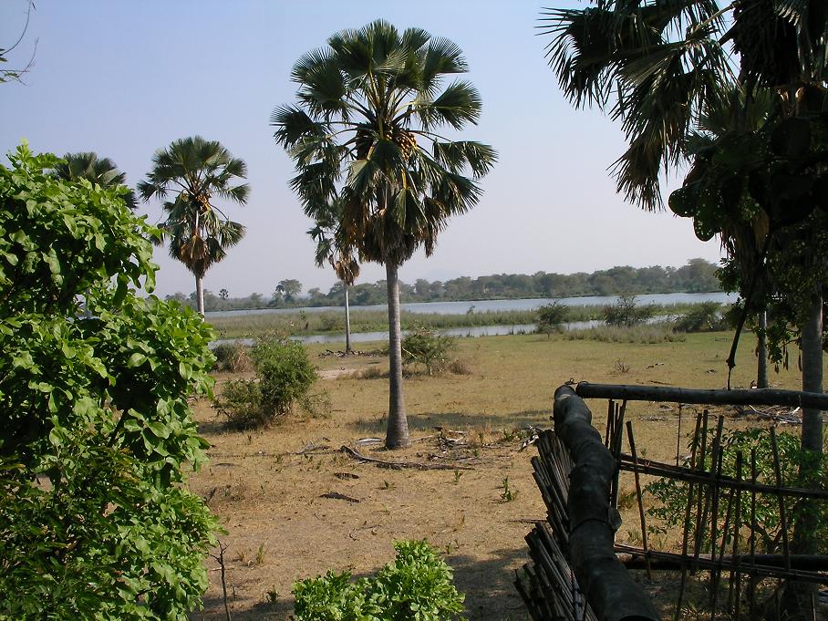
Photo courtesy of Brian Dell via Wikimedia Commons
Malawi is a small, landlocked country found in Sub-Saharan Africa. It bears the unfortunate distinction of being the case study with the lowest life expectancy, human development index score, and per capita GPD. Consequently it is focused around subsistence farming, poverty traps and sustainable development, and park management. The country has been ravaged by HIV/AIDS, and yet agriculture remains under severe pressure due to rapid population growth. Despite the dire outlook, the country has recently raised its agricultural productivity, even becoming a food exporter. Furthermore, Malawi has made progress enacting democratic reforms despite the relatively young history of democracy in the country.
The study area is the most expansive of them all, stretching across a vast expanse of land in the south of the country and covering many farms, villages, and parks. A diversity of crops are grown within the area, including sugarcane, banana, cassava, wheat, and maize. Unusually for such an impoverished country, Malawi has a small but stable biofuel industry centered on sugarcane. Malawi is almost entirely powered by run of river power stations, nearly all of which are located on the Shire River. This makes Malawi one of the most well-balanced case studies.
Background
Energy/Resources: Energy Hydropower Traditional Fuels UN Country profile Reliance on Hydro leads to Drought
Agriculture: Agriculture overview Food Aid and GM imports Mitigation benefits of Smallholder Malawi President endorses agricultural biotechnology
Conservation/Ecology: Map of Terrestrial Ecosystems of Africa Bird-life National Biodiversity Strategy
Society/Urban: Malawi Nation People of Malawi
Basic Geodata
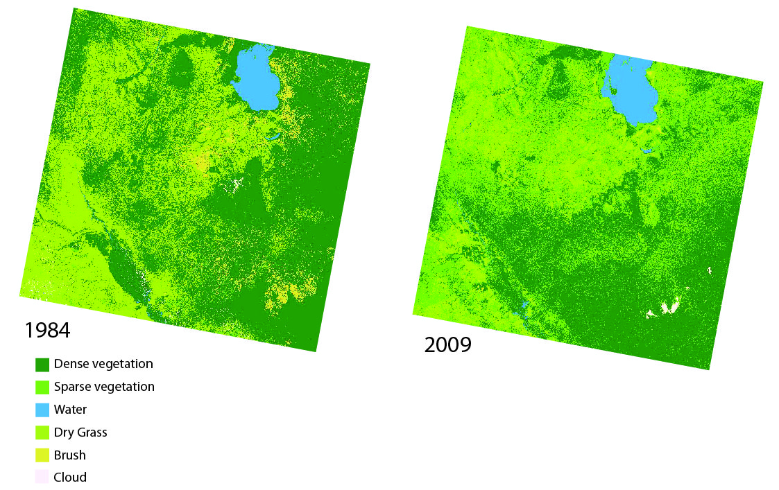
Land cover data (compatible with ArcGIS) will be provided to you in class, covering three past time periods since the 1980s. The links below will show you the approximate boundaries (as seen in Google Earth with recent years), as well as the basic changes in land cover.
view in Google Earth
Remember, in addition to Landsat-derived land cover, there are several more auxiliary geodata sets that have already been collected for you and will be provided in lab. These data include: terrain/elevation, nightlights which represent population, floristic zones, etc. and are available at all study locations. These datasets are introduced and explained further under Additional Data Sources. In addition to these ready-to-go, prepared auxiliary datasets, this page also provides ideas for additional datasets you might find on your own.