Useful Auxiliary Global Data Sets
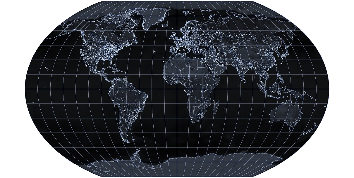
Image courtesy of Allesmüller via Wikimedia Commons
In addition to what is visible via Google Earth and Landsat, additional auxiliary datasets will be provided to you in class and may be very helpful for your projects. The following websites provide some background on additional raster datasets which are available for all locations. Do not forget about these as they are pretty critical for some queries and questions you might ask.
- CEISIN Population
- NASA Nightlights
- IPCC Climate Zones and Soil Type
- NASA SRTM Elevation
- CDIAC Ecofloristic Zones
- CGIAR and Landsat Public Data Sets
Additional Global Data of Interest
Many groups use only the data sets above – perhaps combined with some digitizing work in Google Earth – and successfully complete a great project. However, it is not uncommon for groups to find additional data sets on their own that are useful. Here’s a few more potential sources of information. These are primarily global and continental scale data sets, so you’ll also want to dig around websites for the regional governments and NGOs associated with your particular case study location.
- Diva GIS (various spatial data sets)
- Country’s Valued Export
- Coastal Resilience and Protection
- Bike Routes
- Flow of Nitrogen
- Food and Agricultural Organization
- Global biofuel maps
- Gapminder World
- Powerful Protected Areas Search
- NationMaster
- Red List Spatial Data
- Traditional Fuel Consumption
- World Happiness Report
- World Bank
- NASA Global Change Master Directory Data Sets
- Global Disease Outbreak Map
- Global Database of Plant Health
- Global Archive of Spatial Data (GIST Portal)
- GLOBE: Maps of global variables
- United Nations Population Data
- Global Historical Emissions
- LandMark: Global Platform of Indigenous and Community Lands
- NASA Socioeconomic Data and Applications Center
- NASA GISS Climate Simulations and Earth Observation data sets
- Princeton Future Climate Global Meteorological data
- NASA Tropical Rainfall data sets
- Spatial Agent
- ASF Wetlands Data
- Global Forest Watch
- African Development Bank Data
- FAO Soil Legacy
- Geo-Wiki Project
- USGS Ecoexplorer
- USGS Sea Level Rise
- Net Primary Productivity (NPP) data
- Multistate Aquatic Resources Information System (USA)
- USGS Biodiversity data
- NASA population data
- IPUMS
- ICPRS Social Science Data Site
- UNICEF Multiple Indicators Cluster Surveys Program
- Demographic and Health Surveys Program