Introduction
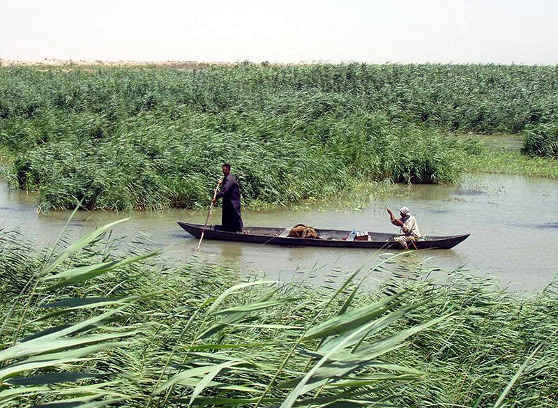
Image courtesy of Hassan Janali, U.S. Army Corps of Engineers via Wikimedia commons
Iraq is a great case study for those interested in marshes, water footprints and politics, and hydropower. The case study is located at the meeting point of the Tigris and Euphrates, a famed piece of human history. A turbulent modern history includes the almost complete destruction of the marshes by Saddam Hussein, and their subsequent partial recovery. Now water shortages are increasingly threatening this recovery, mainly caused by hydropower projects and irrigation. Of note is the Ataturk dam, on the Euphrates river.
There are several papers written about water use and water politics in the area, and the marsh recovery is an ongoing story. Diplomatic relations between the countries that share the Euphrates watershed, Turkey, Syria, Iraq, and Iran, have also been very newsworthy of late. Groups choosing the Mesopotamian marshes will ideally be creative, interested in wetlands and water, and willing to think outside the box (or the case study area).
Background
Energy/Resources: Rebels Capture Iraq’s Largest Dam
Agriculture: Challenges in Iranian agriculture
Conservation/Ecology: Water Supply In Iraq Wetlands fauna The Tigris and Euphrates Wetland Threaten Water Security The rebirth of the marshes and the planned solution to impending water shortages
Society/Urban: Braving Iraq Contentious water politics between Turkey, Syria, and Iraq
A good academic source of information is the wetlands research of Curtis Richardson
Basic Geodata
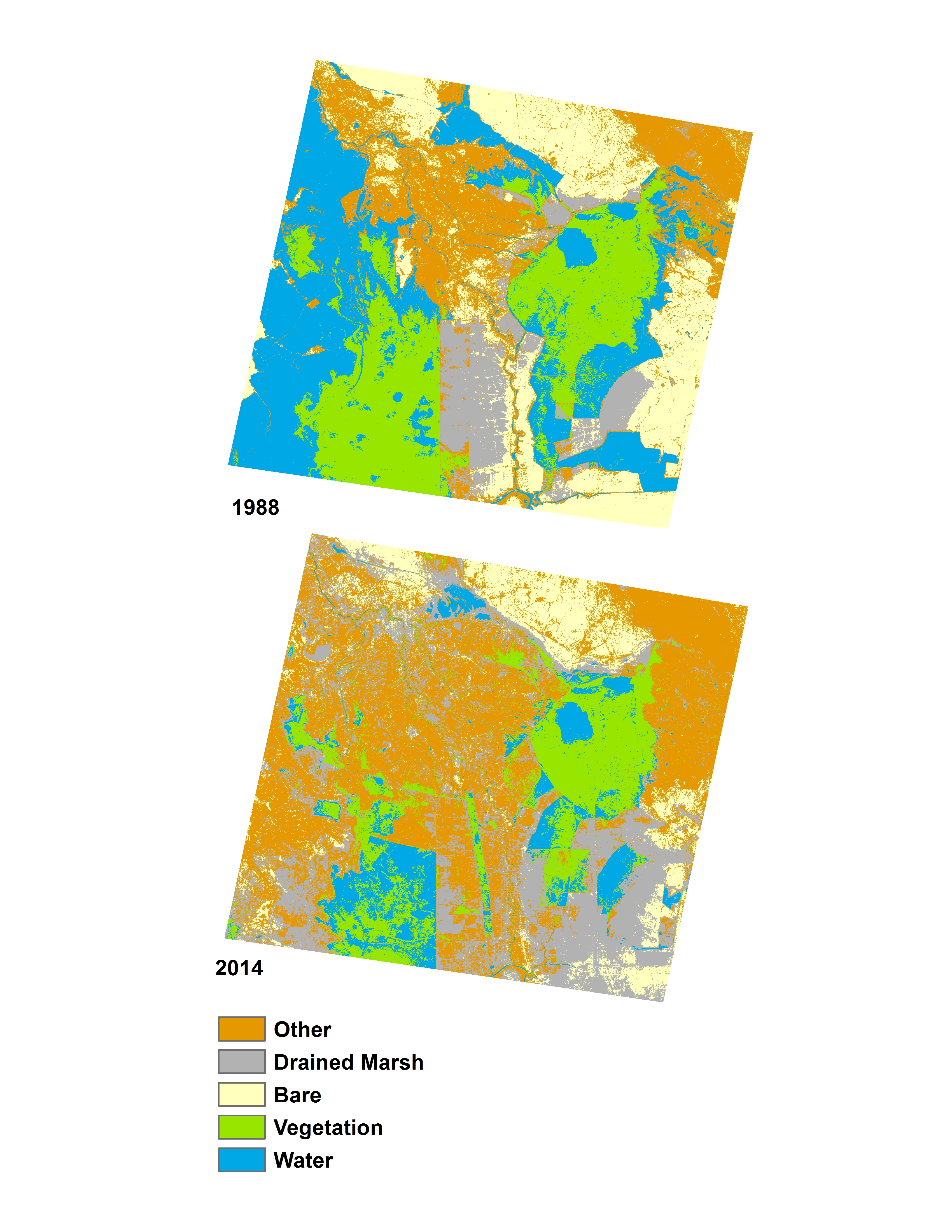
Land cover data (compatible with ArcGIS) will be provided to you in class, covering three past time periods since the 1980s. The links below will show you the approximate boundaries (as seen in Google Earth with recent years), as well as the basic changes in land cover.
view in Google Earth
Remember, in addition to Landsat-derived land cover, there are several more auxiliary geodata sets that have already been collected for you and will be provided in lab. These data include: terrain/elevation, nightlights which represent population, floristic zones, etc. and are available at all study locations. These datasets are introduced and explained further under Additional Data Sources. In addition to these ready-to-go, prepared auxiliary datasets, this page also provides ideas for additional datasets you might find on your own.