Introduction
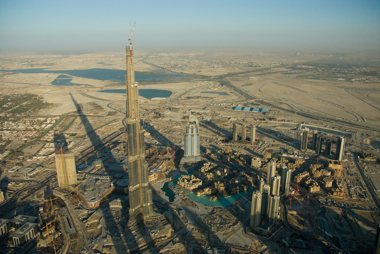
Image courtesy of Aheilner (own work) via Wikimedia commons.
Anyone interested in rapid urbanization and water scarcity should consider taking on Dubai as a case study. Dubai’s rapid growth in population and quality of life has placed enormous strains on freshwater production and required new agricultural practices in its semi-arid climate. The United Arab Emirates are one of the world’s biggest producers of desalinated water and one of the biggest oil exporters in the world. Therefore, there is a diverse range of landcover change projects and life cycle assessments relevant for Dubai. Coastal development is also a relevant issue.
The issues facing this case study are similar for many countries in the Middle East, therefore, supplemental data can be obtained by examining similar countries facing similar issues of desalination and urbanization. Urban sustainability issues are increasingly being examined by ecologists, so there are long-term urban case studies, such as in Phoenix, Arizona, that can provide ideas and papers relevant to rapidly urbanizing, arid cities. Similarly, Dubai is one of few cities actually becoming “greener” in terms of an increase in tree canopy cover. A large amount of literature on ecosystem services from urban trees will also provide you with ideas relevant to explore for this case study. The land cover data we have provided you is most accurate for the area west of the Mountains.
Background
Energy/Resources: Water Profile Desalination Plant Investment Dubai Electricity & Water Authority (DEWA) Desalination Clears Hurdle Desalination Plant Investment Using Waste Oil to Power Cars
Agriculture: Promoting agriculture AQUASTAT Gel irrigation Irrigation Systems Organic farming Abu Dhabi farms
Conservation/Ecology: Desert Conservation Water Crises Designing Protected Areas “Abu Dhabi wasting water ‘that could be used to grow food'” – The National
Society/Urban: Urbanization of Dubai Mapped Travel Public Parks Sustinable in Dubai Timelapse Iconic Nature Towers
Dubai reduce energy consumpsion Emirates profile Golf Environment Organization Timelapse Hot in the city Air Pollution: Urban Myths and Realities
Basic Geodata
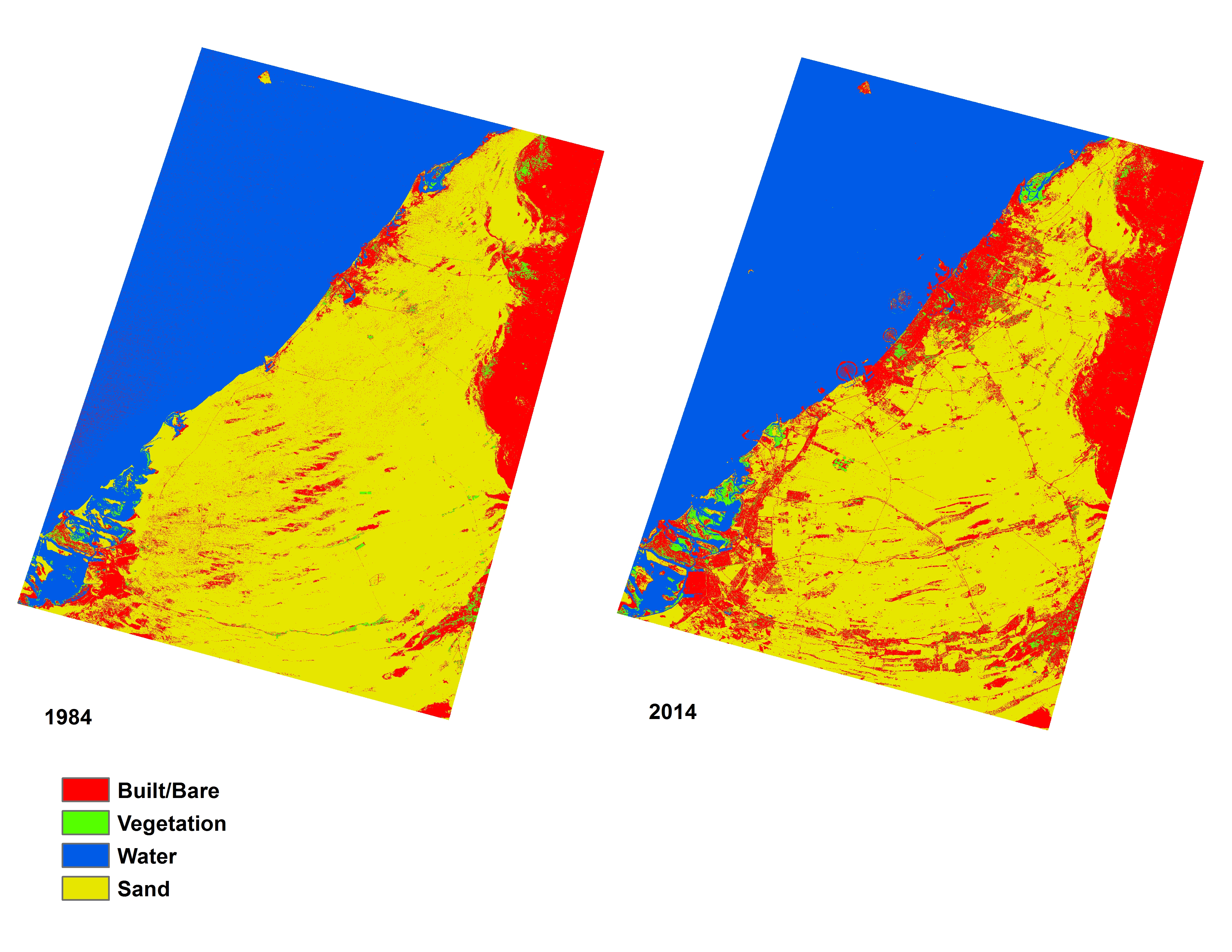
Land cover data (compatible with ArcGIS) will be provided to you in class, covering three past time periods since the 1980s. The links below will show you the approximate boundaries (as seen in Google Earth with recent years), as well as the basic changes in land cover.
view in Google Earth
Remember, in addition to Landsat-derived land cover, there are several more auxiliary geodata sets that have already been collected for you and will be provided in lab. These data include: terrain/elevation, nightlights which represent population, floristic zones, etc. and are available at all study locations. These datasets are introduced and explained further under Additional Data Sources. In addition to these ready-to-go, prepared auxiliary datasets, this page also provides ideas for additional datasets you might find on your own.